
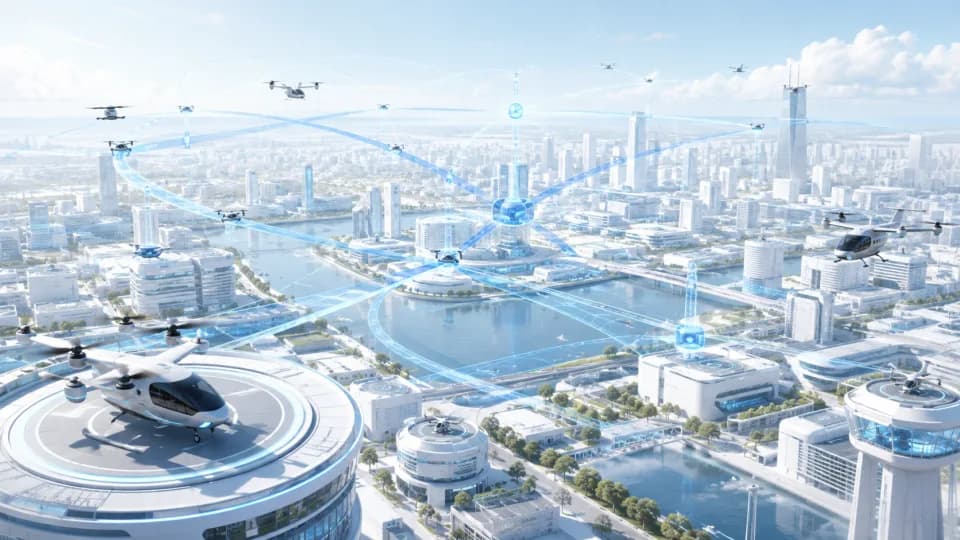
Public-service application scenarios
Use authorised information and clear responsibilities to support discussions across agriculture, forestry, water, transport, safety, emergency, environment, and urban governance.
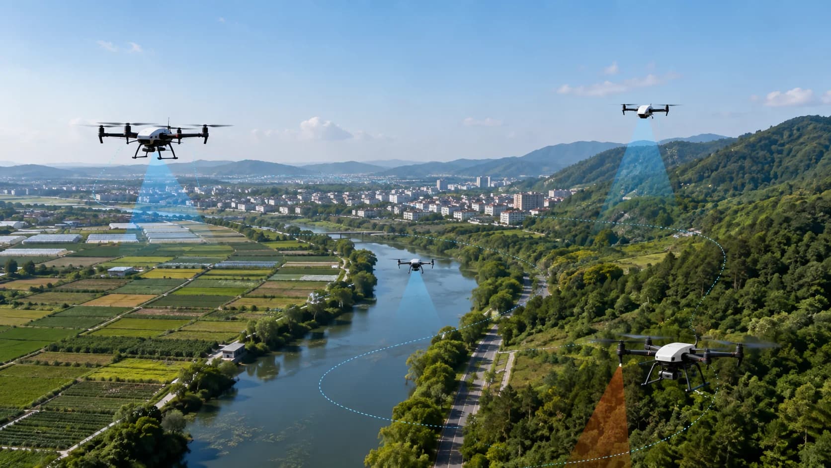
LOW-ALTITUDE APPLICATIONS
Frame scenario questions, information conditions, coordination roles, and validation paths across public services and culture, tourism, sports, and exhibitions.
Position
Each scenario begins with intended users and boundaries, then organises data, workflows, equipment, and human judgement into staged approaches without presenting concepts as completed projects.
Capabilities and work paths
Use authorised information and clear responsibilities to support discussions across agriculture, forestry, water, transport, safety, emergency, environment, and urban governance.
Explore learning, sightseeing, performances, aerial sports, and exhibition directions. Flight and training remain planned; enrolment, flight experiences, and performance delivery are not currently offered.
Architecture and delivery path
First determine whether the need concerns public-service information coordination or experience and content planning for culture, tourism, sports, and exhibitions.
Map existing materials, participating roles, use boundaries, and conditions still to be verified, producing a scenario question list.
Agree tasks, stage outputs, and review methods for digital-platform or city-operations work, with prerequisites listed separately for planned capabilities.
Share the application object, available materials, and coordination problem so we can direct the discussion to the relevant route.