
The operating question
Parcel boundaries, crop seasons, inspection images, and follow-up status are often held in separate files. Teams need to locate an issue, identify when it was found and who reviewed it, and see whether follow-up is complete.
PUBLIC SERVICE SCENARIO
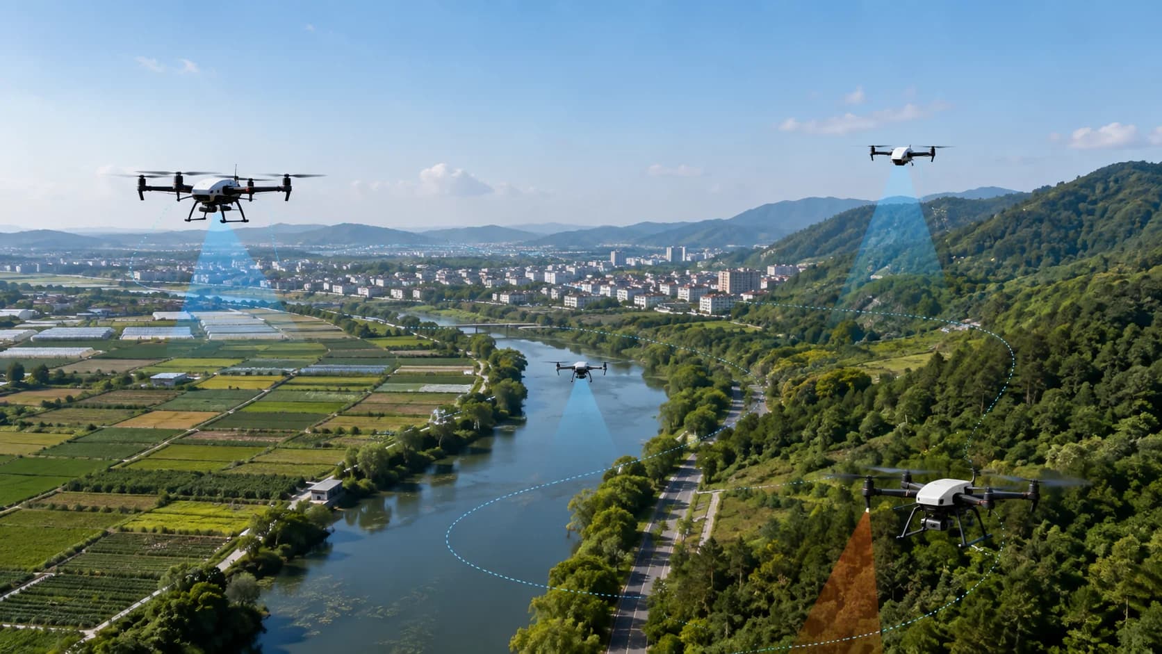
For agricultural parks and management teams, connect field information with follow-up work by mapping parcels, inspection tasks, and exception records into a digital-platform proposal.
Parcel boundaries, crop seasons, inspection images, and follow-up status are often held in separate files. Teams need to locate an issue, identify when it was found and who reviewed it, and see whether follow-up is complete.
Start with one park or inspection task, review parcel data and existing records, then define task logging, linked issue locations, and human review. ZNAero handles the agreed digital-platform work; flight and aerial crop-protection operations remain planned, not current operational services.
System composition
Discuss links between parcel boundaries, crop seasons, task scope, and responsible people. Project owners provide the source data or authorise its use.
Link existing images and issue descriptions to time, location, and task, distinguishing unverified observations from human-confirmed findings.
Define who checks an issue, how records are updated, and when it can be closed. Finding an issue is not the same as resolving it.
Working approach
Prepare parcel coverage, management goals, sample records, and data permissions, then select one reviewable pilot task.
Define task fields, issue categories, review roles, and output lists together. Equipment interfaces and automated analysis require separate checks.
Check task records, issue lists, and follow-up status against agreed examples, then record improvements without assuming operational gains.
Describe the area you manage, how you keep records, and the main problem. Begin with non-sensitive examples before agreeing the platform scope.